An easy walk without any marked changes in height, with sulphureous water springs and tuff quarries.
C.A.I. trail: 605
Difficulty: E Hiking
Starting point: Spinone al Lago
Destination: Spinone al Lago
Duration: 1 hour and 45 minutes
Minimum height: 355 m
Maximum height: 610 m
Total ascent: 255 m
Presence of water on the route: Fonte Spinosa spring, Bianzano piazza and wash-house
Approach: from theS.S. 42 state road, go uphill towards the Town Hall of Spinone al Lago
Parking: near the Town Hall
Route:
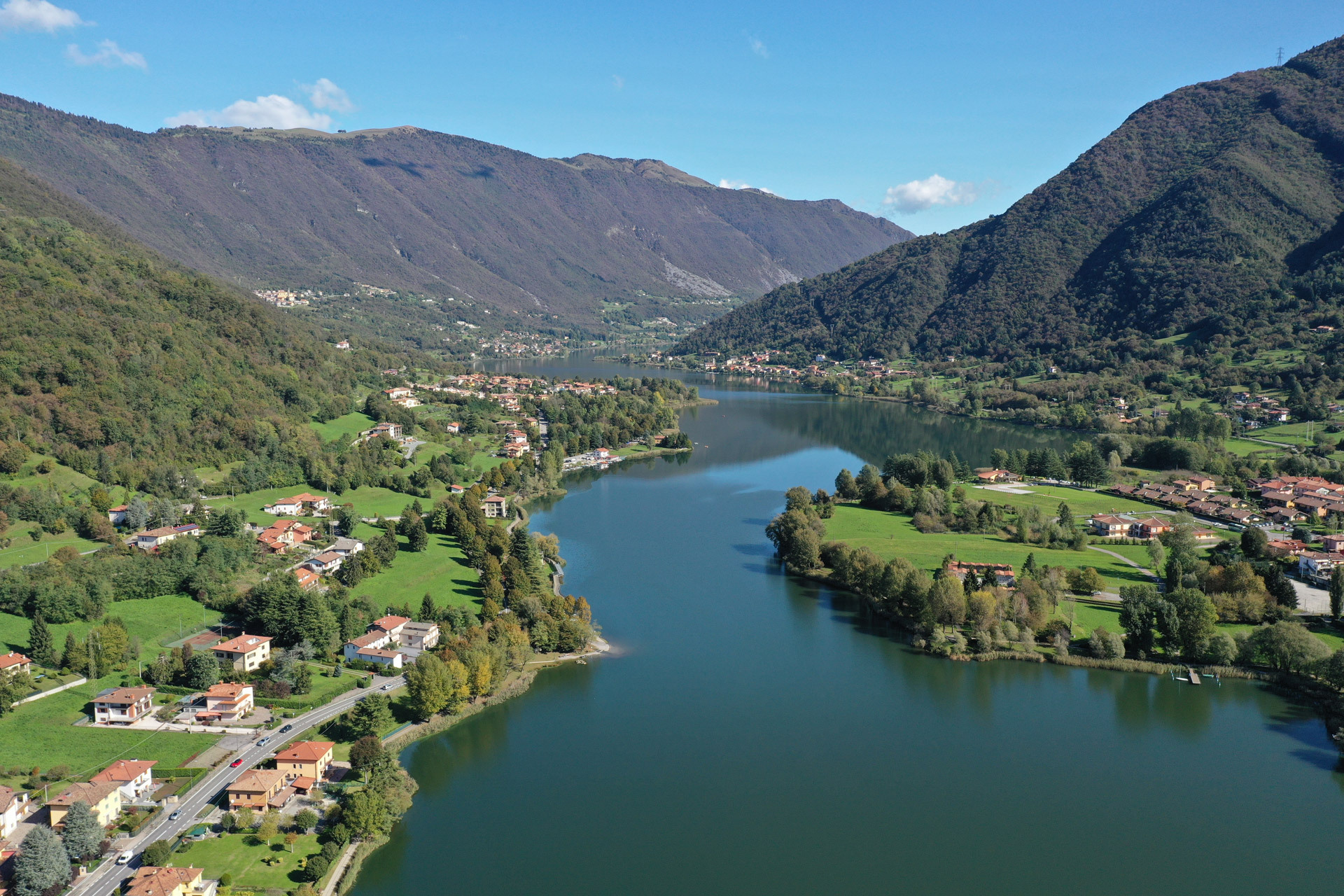
From the Town Hall of Spinone al Lago, go up Via Verdi and turn left into Via Fonti, following the signs for “Fonte Spinosa” (Spinosa spring). Then turn right into Via Valle del Tuf, which soon leads to an area with the “Spinosa” sulphureous mineral water spring, already known in the late 19th century. Continue uphill on the road, skirting Valle del Tuf, named after the presence of a natural deposit of travertine, known as Tufo (tuff), in the riverbed.
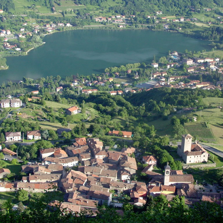
Then take a wide path to the right, crossing a small wooden bridge over the stream, and climb the steep track through the woods to reach the water-meadows in the hamlet Lüdü di Bianzano, where there are springs of water originating from the ancient Fontana irrigation ditch. Follow a concrete-paved road to reach the cemetery and then continue along the Romanesque church of Santa Maria Assunta. After the old wash-house, cross the provincial road in the same direction until you reach a “tribulina” (a small chapel) with a rare depiction of souls in purgatory. Turn right along the old road that skirts the outer district of the village of Bianzano. When you reach the main square of the village, after going around the 16th-century parish church of San Rocco, take Via degli Asini to the right and continue towards the castle, built in the mid-14th century. After passing the manor house and crossing the provincial road, you will get a glimpse of Lake Endine, dominated by Mounts Ballerino and Torrezzo. You then go downhill along “Strada degli Asini” (donkey path), an ancient mule track, once the principal artery of communication with the village of Spinone below, which still preserves its paved roadbed and dry-stone walls. The road descends in a series of hairpin bends and, having passed the metal bollards, it continues across level ground, soon reaching Piazza Valzelli in Spinone al Lago. Turning right into Via Diaz, you reach the crossroads that, on the left, will take you back to the starting point.
Credits: Cooperativa Sociale l’Innesto Onlus and Consorzio Servizi Val Cavallina.