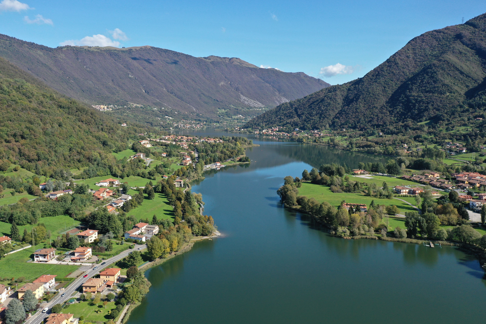
This hike of moderate difficulty will take you from the church of Sant’Ambrogio in Cenate Sopra to the summit of Mount Misma, the first Orobic peak overlooking the plain.
C.A.I. trails: 607, 626, 627, 607
Difficulty: E Hiking
Starting point: Sant’Ambrogio (Cenate Sopra)
Destination: Sant’Ambrogio
Duration: 3 h
Minimum height: 450 m
Maximum height: 823 m
Total ascent: 373 m
Availability of water on the route: Fontanino del Plasso spring, running water at the Church of Santa Maria di Misma
Approach: from the state road S.S. 42, in the municipality of Trescore Balneario, follow the signs for Cenate Sopra and then take Via Sant’Ambrogio to the small village square
Parking: near the church and in Via Lazzarino
Route:
From the car park, follow the road (C.A.I. trail 607) that leads to the church of Sant’Ambrogio and carry on until you reach a farmhouse. Then go right, along a steep concrete road, which you leave by taking a path on the right, following the signs for Santa Maria di Misma, along the steep historical mule track, which runs entrenched and still has stretches of dry stone walls.
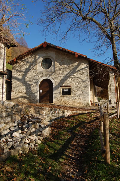
After a hairpin bend to the left, you reach the watering trough at the hamlet of Plasso. Then go up the slope consisting of sedimentary rocks of marine origin from differing geological epochs. After climbing up a few hairpin bends, follow the steps alongside the Cà Nigra house, formerly a roccolo (bird-trapping installation). Carry on along gradually gentler slopes, that in a few minutes bring you to the solitary sanctuary of Santa Maria di Misma, built around the year 1000, at an altitude of 823 metres, with refreshments available on Saturdays and Sundays. From here, following trail n° 601, you can reach the summit of Mount Misma (1,160 m a.s.l.), the first mountain peak overlooking the Bergamo plains, a walk of about an hour. However, from the hermitage, the route continues on the flat (trail numbers 513 and 626) on the right-hand slopes of the Calchera Valley. Due to the risk of rocks breaking away from the rock walls above, there is an absolute prohibition on stopping on part of this route. Going across pastures, you reach a wood and continue into the Nature Reserve – WWF Valpredina Oasis, a Site of Community Interest for the protection and conservation of biodiversity. At a crossroads, leave the level path and go downhill to the left to reach the hamlet of Cà Muratori. Now following trail n° 627, continue the steep descent from Costa dei Muratori and in half an hour you will reach a dwelling with a votive shrine. Leaving the track on the ridge, carry on towards the left, walking alongside an impressive dry stone wall that joins the road running alongside the river Calchera, named after ancient lime-burning activities (calchera means lime kiln). From here, continue uphill and then turn right to take trail 607A. After fording the small stream, walk uphill through a hornbeam forest until you reach the Plasso watering trough. From here, follow the mule track (n° 607) downhill again to return to the starting point.
Credits: Cooperativa Sociale l’Innesto Onlus and Consorzio Servizi Val Cavallina