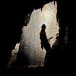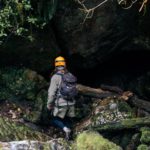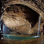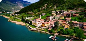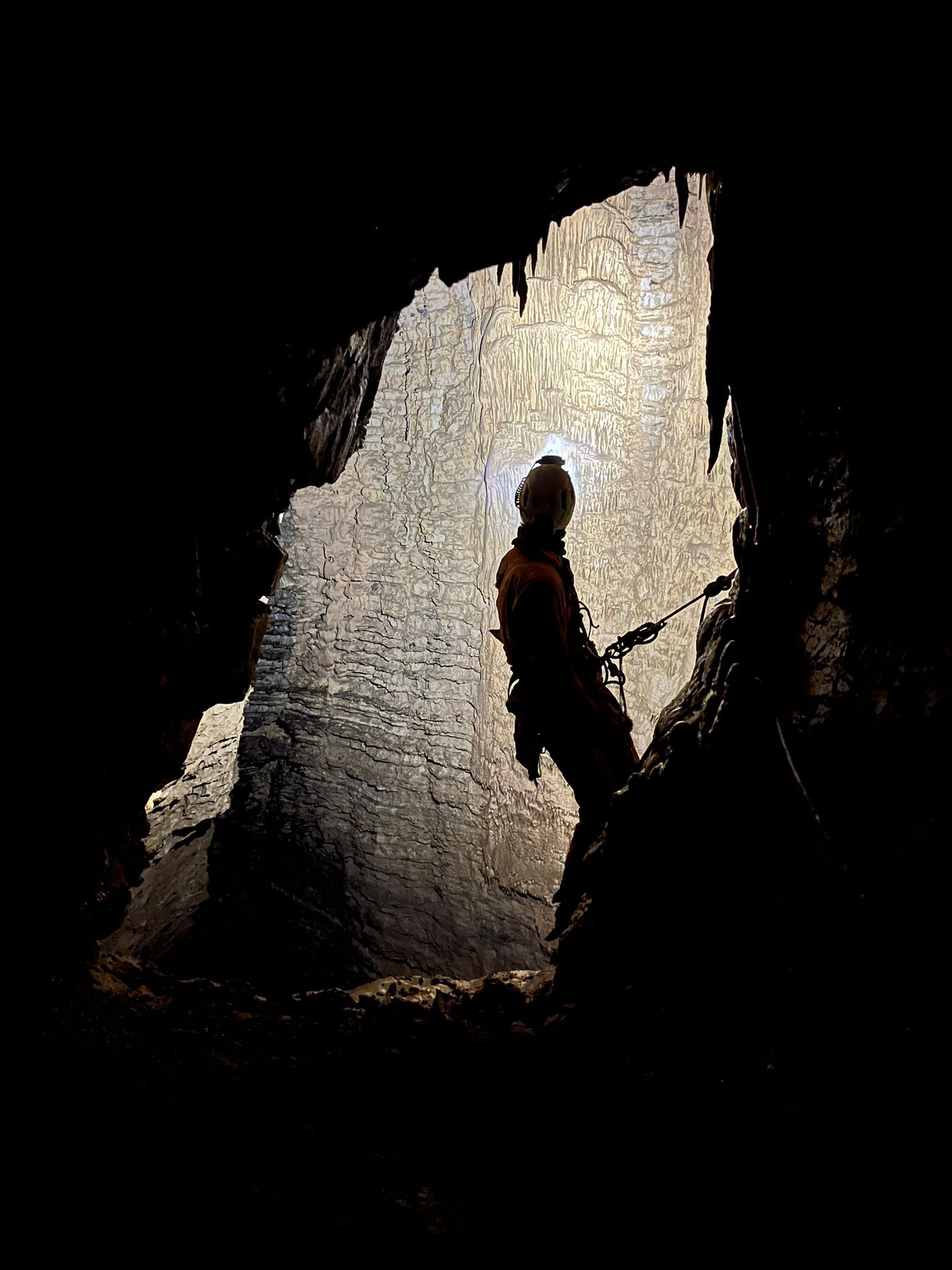
A hiking trail, almost 15 km long, situated between Endine Gaiano and Fonteno. The route winds through a vast karst landscape rich in underground caverns and chasms (such as the famous Abisso Bueno Fonteno) that connect the Lake Endine area to Lake Iseo.
The “Cave Trail” project was promoted by the Sebynica association and funded by Fondazione Comunità Bergamasca ONLUS, the Municipality of Fonteno, the Municipality of Endine Gaiano, the Rotary Club Lovere-Iseo-Breno, and Legambiente Alto Sebino. It is essential that hikers engage with the history of the Sebino Project and its explorations, whilst showing complete respect for both surface and underground ecosystems. All stages of the trail, arranged along an imaginary “figure of eight”, can be reached equally well by starting from either Endine Gaiano (Valmaggiore hamlet) or Fonteno, with varying levels of difficulty and walking times.
There are three routes that make up the Sentiero delle Grotte:
– THE LOW-LEVEL ROUTE: this allows you to appreciate the “low entrances” to the karst system – where the speleologists’ exploratory adventure began – and the main features of a landscape characterised by deep karst formation, with signs clearly visible even from the surface.
It is an easy route, ideal for families, and recommended for those wishing to spend half a day on the walk. In this case, it is advisable to set off from the square in Fonteno.
・Low difficulty
・Length: 2.5 km
・Journey to Bueno Fonteno: approx. 1 hour; to Nueva Vida: approx. 2 hours
・Return from Nueva Vida: approx. 1 hour
・Total duration: approx. 4–5 hours (at a moderate pace with stops)
・Accessible all year round, but recommended in summer
– THE LOWER ROUTE: if you wish to reach the remote access points of the complex situated on Monte Sirolo, whilst enjoying fantastic views stretching from Lake Iseo to the Cavallina Valley, you can choose to set off either from Endine Gaiano (hamlet of Valmaggiore) or from Fonteno. Both routes are very enjoyable and can be covered at a moderate pace in around 6–7 hours.
Starting from Endine: you ascend the northern slope of the Fonteno Valley, amidst rugged, unspoilt countryside, and, passing through imposing limestone outcrops overlooking the Cavallina Valley, you will reach the summit of Monte Sicolo (G). In this case, we recommend taking the route to point (I) on the map on the way there, then returning via the route leading to point (H).
・Medium difficulty
・Length: 7 km to signpost (G)
・Outward journey: approx. 3–4 hours; return journey: approx. 3 hours (at a moderate pace with stops)
・Accessible all year round, but recommended in autumn and winter
Starting from Fonteno: it is advisable to follow the mule track, passing through the rest points (E)-(F)-(L) and then climbing up to point (G). The detour to point (H) is also recommended.
・Medium difficulty
・Length: 5 km to signpost (G)
・Outward journey approx. 3–4 hours and return journey approx. 2 hours (at a moderate pace with stops) – with a detour to point (H), add 2 hours
・Suitable all year round, but recommended in autumn and winter
– THE CROSSING ROUTE: this is recommended for those who have a whole day to spare and wish to embark on an exploratory adventure, covering the key milestones in speleological research and the concepts underpinning the discipline.
At a steady pace, including stops, it is possible to complete the entire circuit in around 14 hours, whether starting from Fonteno or Endine Gaiano. In this case, the hike involves a total ascent of approximately 1800 metres, but allows you to return to your chosen starting point. If this option proves too challenging, it is possible to set off from Endine Gaiano and head to Fonteno (or vice versa). For these routes, it is advisable to park a car at both the start and finish points, so that it can be used as a shuttle once you reach your destination.
Starting from Endine: follow the section of the route that passes point (H), continuing on to point (G). Retrace your steps along this section of the path until you reach the signposted junction between M. Secolo and Corna dei Fondi, which descends to the mule track (Strada Verde – Valle di Fonteno) towards the entrance to Nuova Vida (C). Continue downhill, passing point (F) and the hut marked with points (E)-(D)-(L), to reach shortly afterwards the turn-off leading to the entrance to Bueno Fonteno (B). From there, return to the Strada Verde and proceed to Fonteno (A).
・High difficulty
・Length 8.5 km
・Elevation gain 900 m
・Total duration approximately 9 hours
Starting from Fonteno: Follow the Strada Verde to the hut marked with points (E)-(D)-(L). Take the turn-off for Bueno Fonteno (B), then turn back and continue to point (F), before taking the turn-off for Nueva Vida (C). From there, continue uphill to the ridge of Monte Sirolo (G). Retrace your steps towards the viewpoint (H) and from there on to Valmaggiore.
・High difficulty
・Length 8.5 km
・Elevation gain 660 m
・Total duration approximately 9 hours
Download the information leaflet “The Caves Trail”
Download the map “The Caves Trail”